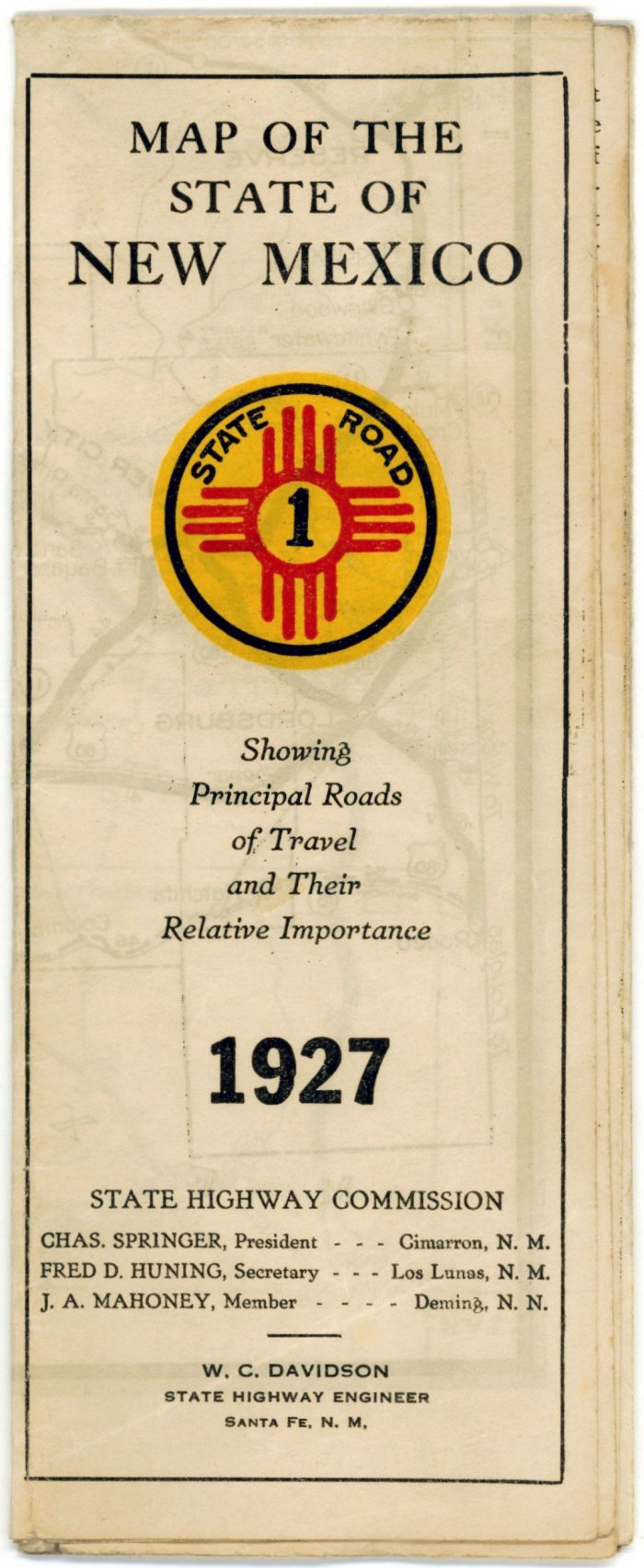
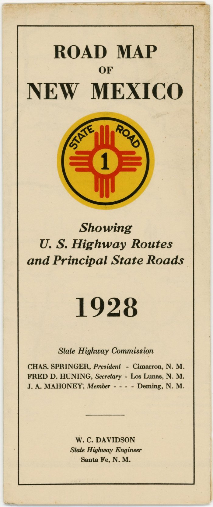
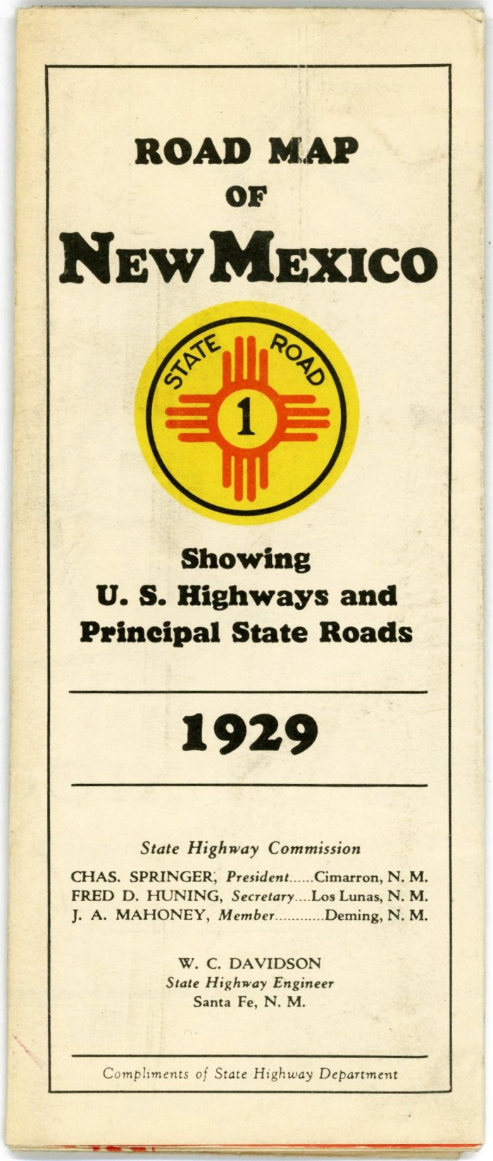
Official N.M. State Highway Department Road Maps
| The New Mexico State
Highway Department published official state road maps in small numbers
at least as far back as 1914, then in larger quantities beginning about
1925. The covers of those from 1930 through 1938 were graced with
particularly attractive art work. With the hope of attracting tourists
and their money, the maps were mailed out free in vast numbers to anyone
requesting them. (Because of conservation measures implemented during
World War II, no maps were issued during the three war years of
1943-1945.) The NMTHP is in need of a 1926 map, and all years of maps prior to 1925, to photograph for this page. If you have any of these that you would like to donate or sell to NMTHP, please contact us! |
 |
 |
||
| 1914 | 1915 | ||
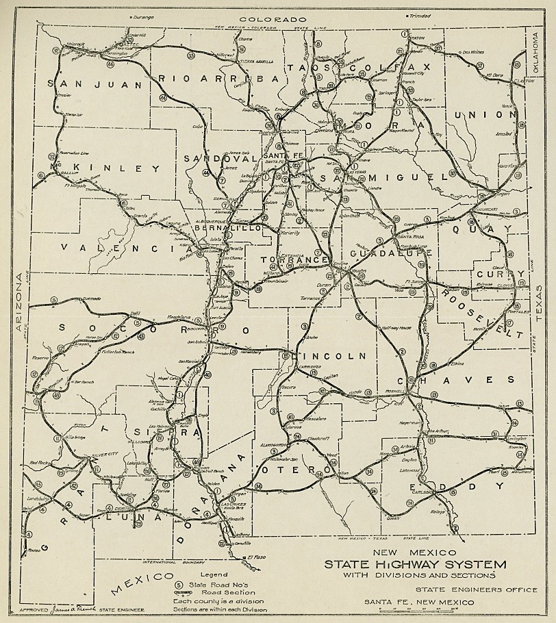
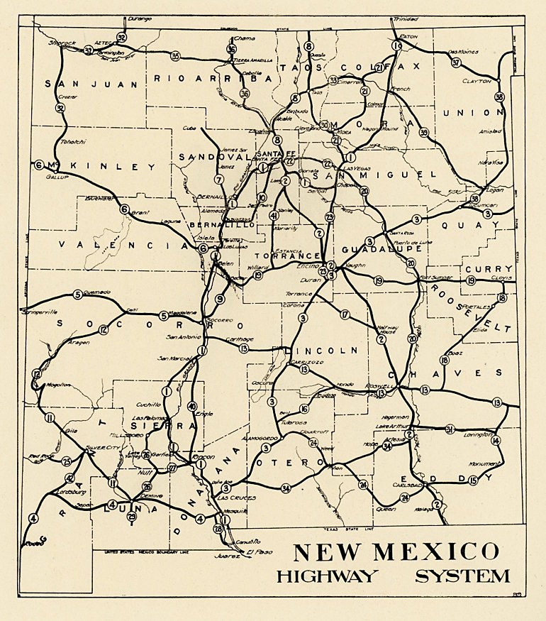
| New Mexico’s earliest known official state road maps are the 1914 and 1915, shown immediately above. Both of these are small maps (7½" x 8½" and 6½" x 7½", respectively) printed on one side only and bound into books, with the result they they have no decorative “covers.” | |||
 |
|||
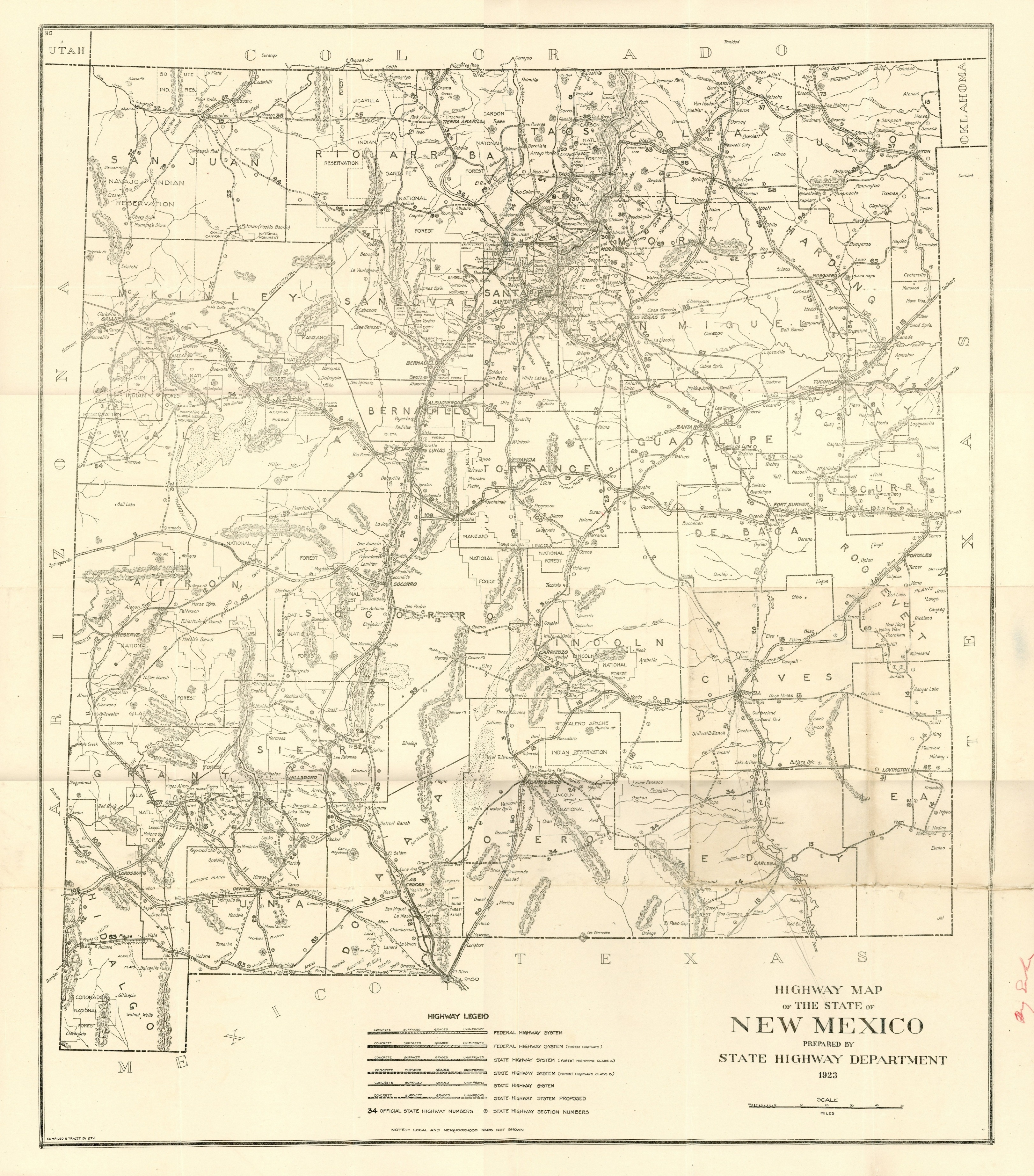
| 1923 Official New Mexico State Highway Department road map. This is the earliest known full size road map published by the Highway Department. Printed in black and white on one side only, and having no decorative “cover,” it measures 22" wide x 25" high. As such it is far too large to scan on a typical letter size scanner. The image seen here was made by scanning the map in six separate sections, then stitching the six images together with photo editing software. In the final image one may see very small discontinuities where the images came together. | |||
 |
 |
 |
 |
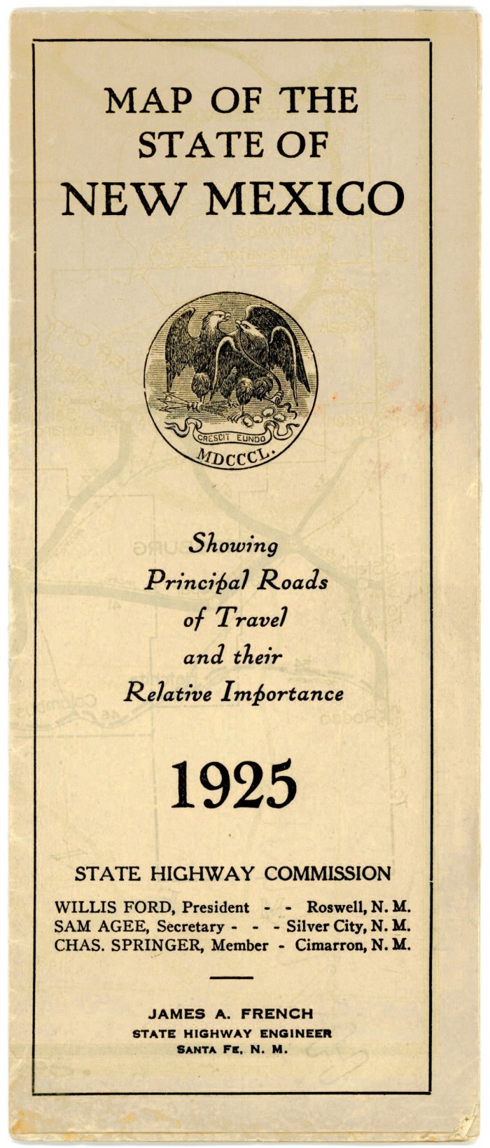
| 1925 | 1927 | 1928 | 1929 |
 |
    |
|||
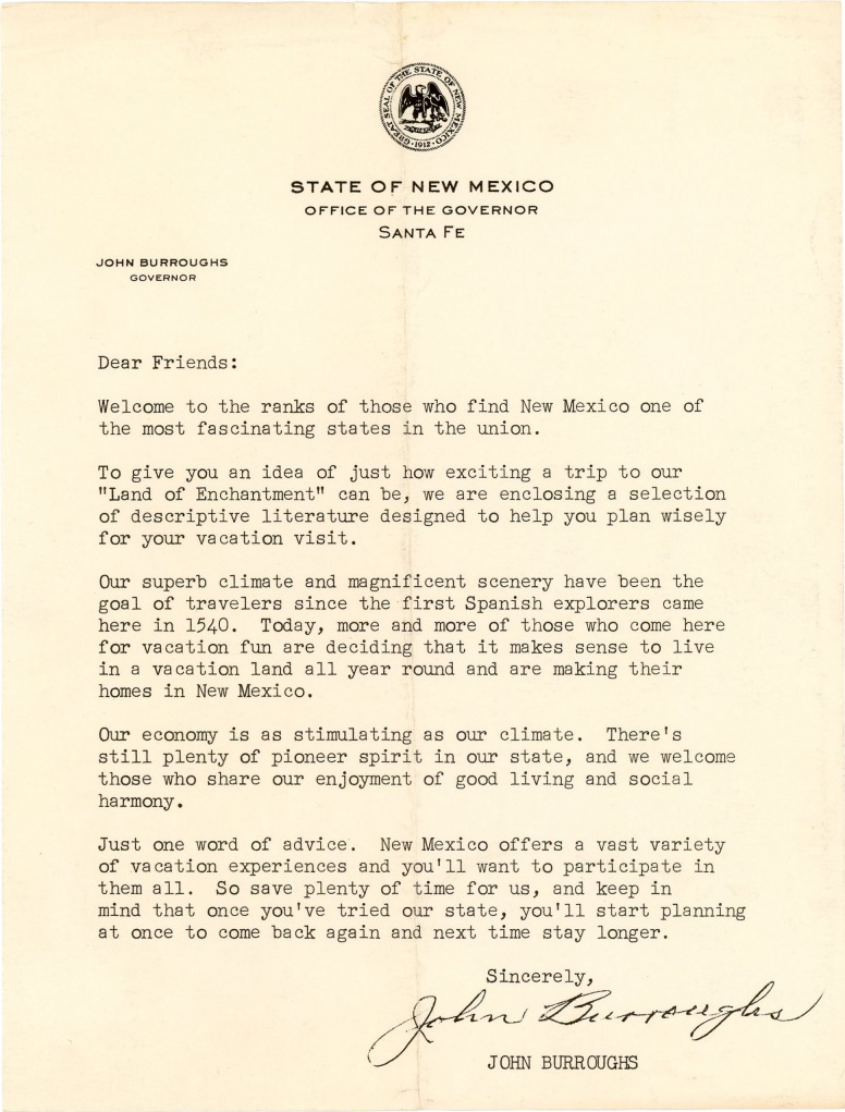
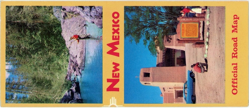
| Complete original 1959 mailing packet of letter from Governor Burroughs, along with 1958 State Highway Department road map and other tourism publications. | ||||